


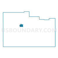
Brookside #VE80.2 Voting District, Washington County, Utah
About
Outline

Summary
| Unique Area Identifier | 680413 |
| Name | Brookside #VE80.2 Voting District |
| County | Washington County |
| State | Utah |
| Area (square miles) | 10.05 |
| Land Area (square miles) | 9.99 |
| Water Area (square miles) | 0.06 |
| % of Land Area | 99.42 |
| % of Water Area | 0.58 |
| Latitude of the Internal Point | 37.36382410 |
| Longtitude of the Internal Point | -113.63873180 |
Maps

Graphs
Select a template below for downloading or customizing gragh for Brookside #VE80.2 Voting District, Washington County, Utah


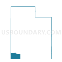
Neighbors
Neighoring Voting District (by Name) Neighboring Voting District on the Map
- Central #CE91.1 Voting District, Washington County, UT
- Outside Cities and Towns #OUT2 Voting District, Washington County, UT
- Outside Cities and Towns #OUT3 Voting District, Washington County, UT
- Veyo #VE80.1 Voting District, Washington County, UT